
11.02.2026
Orbiting satellites will monitor changes in the stratosphere and on the planet’s surface
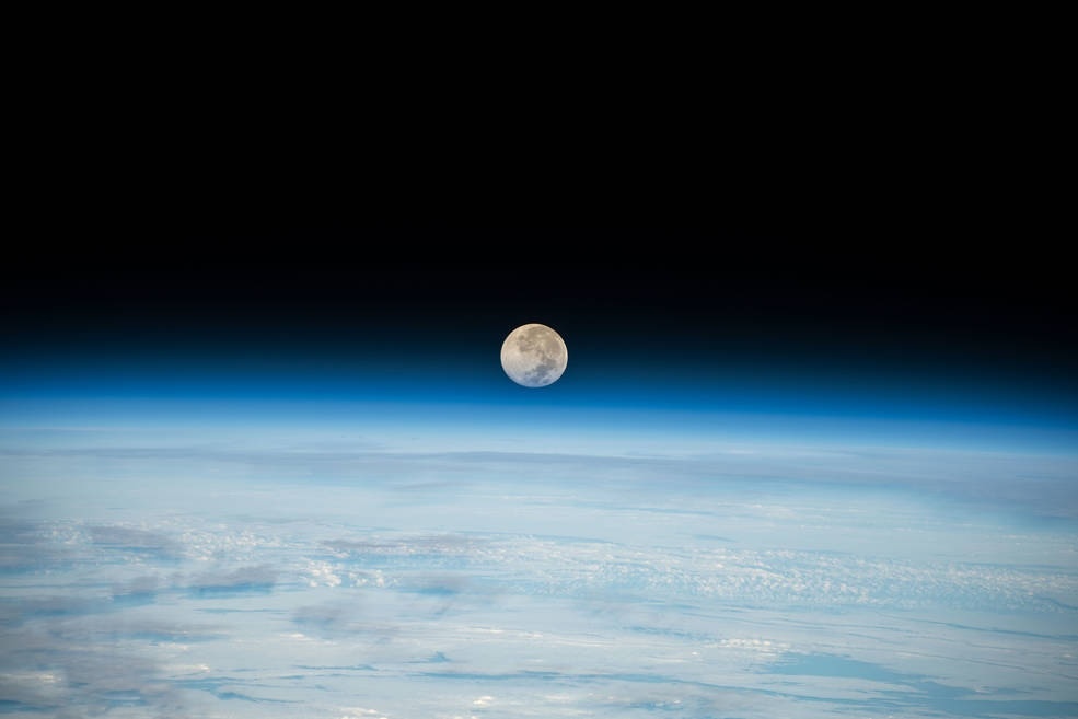
Geoscientists will soon have two powerful new eyes on Earth, offering unprecedented views of the changes occurring within the planet’s upper atmosphere and on its surface. On 5 February, NASA announced the selection of the two satellite missions, funded at $355 million apiece, through the agency’s competitive Earth System Explorers Program.
The news comes after months of speculation that proposed White House cuts to NASA’s budget would mean the program would only fund a single mission. Ross Salawitch, an atmospheric chemist at the University of Maryland, attributes the selection of both missions to scientists’ lobbying efforts to maintain research funding. In January, Congress passed a $7.25 billion budget for NASA’s science programs for the current fiscal year—a 1.1% reduction from last year, rather than the 47% cut the White House requested. “I’m overwhelmed with happiness that these missions are going forward,” Salawitch says.
One of the missions, the Earth Dynamics Geodetic Explorer (EDGE), will map the elevation of the planet’s ice and land to within 3 centimeters on flat ground. A laser instrument on the satellite will measure height across five 120-meter strips, allowing it to cover almost all of the planet’s surface more quickly than current instruments in orbit, such as . “We can’t be blind to the planet we’re living on and thriving on,” says Helen Amanda Fricker, a geophysicist at the Scripps Institution of Oceanography and EDGE’s principal investigator.
That information allows researchers to map the growth and harvesting of crops, the thickness of sea ice and ice sheets, and the canopies of forests before and after wildfires. “There is so much you can do once you can tell if [the surface] is going up or down,” says Richard Alley, a geoscientist at Pennsylvania State University. “I’m an old geologist and we have been trying to do this kind of thing forever.” The data will be especially valuable for tracking how ice is melting in a warming climate, offering better forecasts of sea level rise, Alley says.
The second mission, called the Stratosphere Troposphere Response using Infrared Vertically-resolved light Explorer (STRIVE), will target the upper atmosphere, between 5 and 50 kilometers above the surface. This region, which includes the upper troposphere and lower stratosphere, is a critical interface for global weather patterns, pollution, and the ozone layer, says principal investigator Lyatt Jaeglé, an atmospheric chemist at the University of Washington. “It’s one of the biggest blind spots in our global observing system.”
Where most satellites point straight down at Earth, STRIVE will look sidelong, through the limb of the atmosphere, to take a vertical profile of the temperature and chemistry of the upper atmosphere with an infrared sensor. It will collect more profiles of the atmosphere in 2 months than a comparable instrument now in orbit on NASA’s Aura satellite has collected in 2 decades. “It’s the difference between a blurry CT scan and a high-resolution MRI,” Jaeglé says.
Jaeglé suspects this sharper image will improve long-term weather forecasts. The stratosphere has a “memory,” she says, making it one of the strongest controls on weather in the lower troposphere on 2-week to 2-month timescales. But “currently we don’t have the observations to understand how the stratosphere communicates these signals with the troposphere,” she says.
The new view on the stratosphere also comes as researchers are struggling to understand rapid changes high in the atmosphere, such as unexpected delays in the recovery of the ozone layer possibly linked to wildfire smoke. Salawitch adds that recent proposals to cool the planet by injecting reflective aerosols into the stratosphere—which could degrade the ozone layer if attempted—make the mission “very important and very timely.”
Now that EDGE and STRIVE have been selected, the teams can start to develop the satellites, although they must confirm schedule and budget are on track in 2027 before launching sometime after 2030. “Everyone is jumping at the bit to get started,” Fricker says.
Quelle: AAAS