
4.12.2020
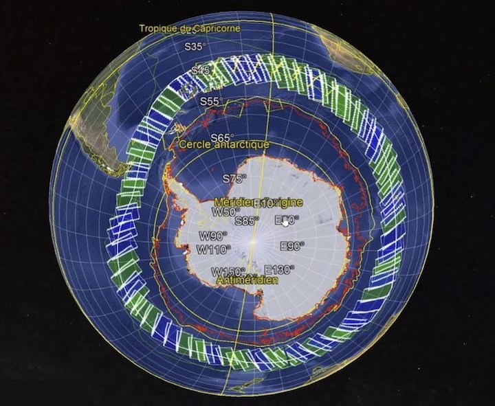
On 8 November, 33 intrepid sailors set off from Les Sables-D’Olonne in western France to take part in the most extreme, solo, non-stop, race around the world: the Vendée Globe. The route of around 45 000 km takes them down through the Atlantic and into the heart of the Southern Ocean – which is where they are heading now. Thanks to information from satellites, an ice exclusion zone has been established to help keep sailors away from icebergs. For extra safety, satellite images and data are being used to map any ice around Antarctica before the sailors pass through.
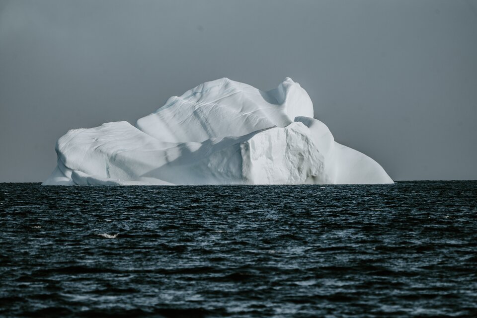
On route the racers not only have to contend with solitude and the dangers of fierce winds, huge waves and swells, but also the risk of collision, notably with icebergs. Satellites are the only way of detecting and monitoring icebergs effectively in the remote Southern Ocean.
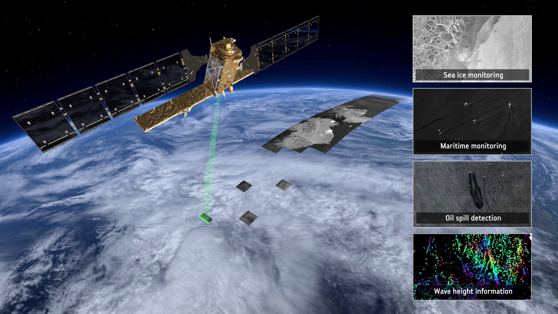
To help keep the Vendée Globe sailors safe, CLS – a subsidiary of the French CNES space agency and CNP – uses information from satellites carrying radar such as Copernicus Sentinel-1 and satellites carrying altimeters such as Copernicus Sentinel-3 to detect icebergs.
Spaceborne radar returns images of Earth’s land and sea surface through cloud and rain, and regardless of whether it is day or night – so ideal for monitoring the position of icebergs.
Satellite altimeters measure differences in the height of the sea surface, therefore also the height of any floating ice. Altimeters have been used to study Arctic and Antarctic ice and experts are able to recognise the signature of an iceberg in altimetry data. CLS is actually using data from four altimetry satellites for the Vendée Globe: the European–US Jason-3 mission, the French–Indian Saral/Altika mission and the two Copernicus Sentinel-3 satellites.
With the benefit of complementary radar and altimetry data, CLS has already established an Antarctic ice exclusion zone, in close collaboration with the race management team to keep the Vendée Globe sailors out of the way of dangerous bergs. During the race the team can update this exclusion zone if necessary.

While Copernicus Sentinel-1 provides timely images to map sea ice and icebergs for safe passage as a matter of routine in the Arctic, it has been tasked especially to map critical areas of the Southern Ocean around Antarctica for the Vendée Globe.
Sentinel-1 is providing maps detecting icebergs in the relevant areas a few days before the sailors pass through so that the race organisers have an up-to-date general picture of the situation around Antarctica.
Simon Jutz, head of ESA’s Copernicus Space Office, said, “We are happy to task Copernicus Sentinel-1 on behalf of the European Union and support CLS to keep the Vendée Globe sailors safe on their gruelling voyage – and we of course wish each and every one of them good luck!”

Fabienne Jacq, the European Commission’s policy officer in charge of the Copernicus Marine Service, recalled, “I remember when we started using synthetic aperture data a decade ago and CLS demonstrated to sailors the benefit of space observations for their safety. Now sailors cannot race across waters where they could encounter icebergs without these data. This is the beauty of the Copernicus programme: the now sustained and high-quality services including iceberg detection, but also data for forecasts, temperature, waves and currents to support the race.”
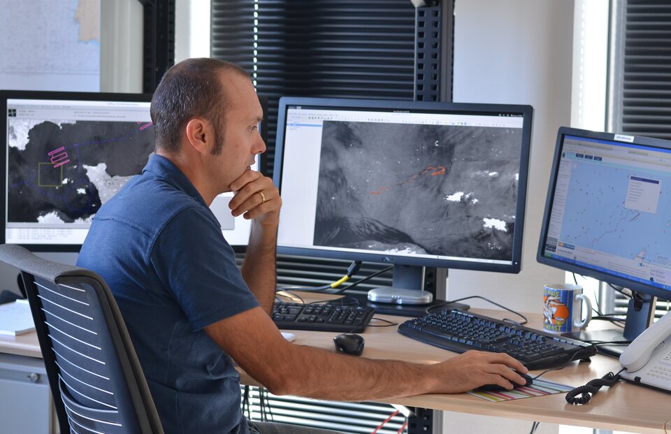
Sophie Besnard, project manager for the Vendée Globe at CLS, added, “We have been a partner in this amazing race since the first edition, we are proud of our colleagues: oceanographers, radar analysts, Earth observation specialists and race experts, who help increase the safety of the race, especially during this complex time that we all have to face.”
Follow the ESA–CLS press event taking place on 3 December at 15:00. The event is being held in French.